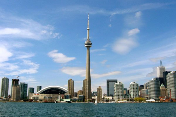
The Toronto subway train is the fastest and most convenient way of getting around downtown Toronto and the Greater Toronto Area. The Toronto subway is the main rapid transit (RT) railway system in Toronto operated by the Toronto Transit Commission (TTC). For any visitor, the Toronto subway system is the easiest and most efficient way to see the sights in Toronto.
The Toronto subway Lines
the Toronto subway consists of four lines: the Yonge-University-Spadina, Bloor-Danfourth, Sheppard and the Scarborough RT. The Toronto subway system features two major lines that pass through the downtown core of Toronto and contain stops at most of Toronto’s top attractions, restaurants and hotels. The subway consists of both underground and elevated railway lines.
The Yonge-University-Spadina Line
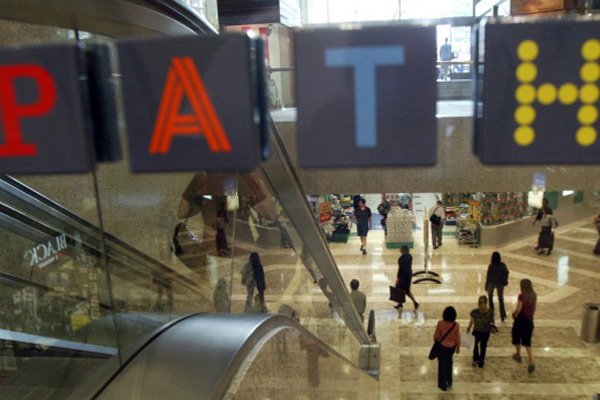
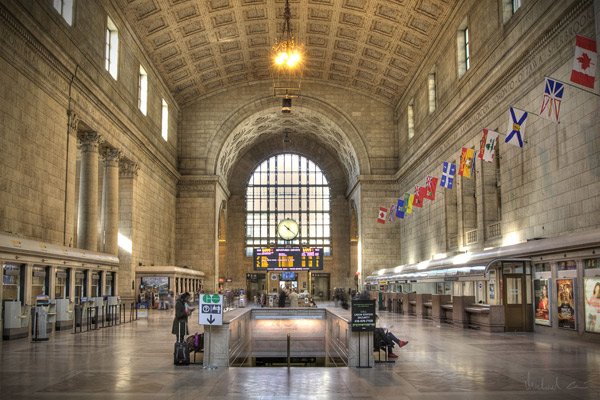
The Yonge-University-Spadina line is probably the most important subway line for any visitor to know. This line traverses the entire downtown core of Toronto in a U-shaped path by following Yonge Street north and south from Finch Ave to King Street. the line features 14 stations in downtown Toronto and features 5 stations (Dundas, Queen, King, Union and St. Andrew) that are directly connected to Toronto’s PATH underground network. This line is connected to many of Toronto’s best hotels, shopping, attractions and restaurants.
The Bloor-Danforth Line
The Bloor-Danforth also cuts through Toronto’s downtown core, primarily in an east-west manner. The line features 6 important stops that pass through the downtown core. These stations include Bathurst, Spadina, St. George, Bay, Bloor-Yonge, and Sherbourne. This line also passes through many of Toronto’s best shopping, restaurants and attractions.
History of the Toronto Subway
Since the original line following Yonge Street opened in 1954 with 12 stations, the network has expanded to become Canada’s largest rapid transit rail network, encompassing four lines and 69 stations on 68.3 kilometres (42.4 mi) of track.
Popularity of the Toronto Subway
The subway system is a very popular mode of public transport in Toronto. Toronto’s subway is also the largest in Canada in terms of passenger usage, with over 1 million passenger trips each weekday. To locate a subway station easily in Toronto, look for the TTC street sign.
Images of the Toronto Subway

Passengers at a Toronto subway (flickr user FHKE)

The Toronto subway map (ttc.ca) click to enlarge