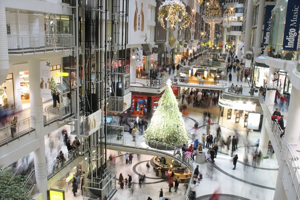
Toronto’s PATH network is downtown Toronto’s underground city, a walkway that consists of 28 kilometers (17 miles) of shopping, services and entertainment. This underground tunnel system links some of Toronto’s biggest office buildings and attractions through underground passageways. Many downtown businesses, malls, stores, movie theatres and subways are connected through PATH. Because PATH is an underground network, it allows you to explore most of downtown Toronto, regardless of the weather. Regardless of the winter cold and snow, or the summer heat, PATH is available.
Facilities within PATH
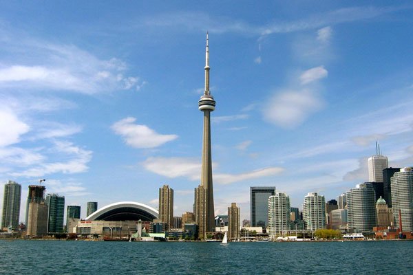
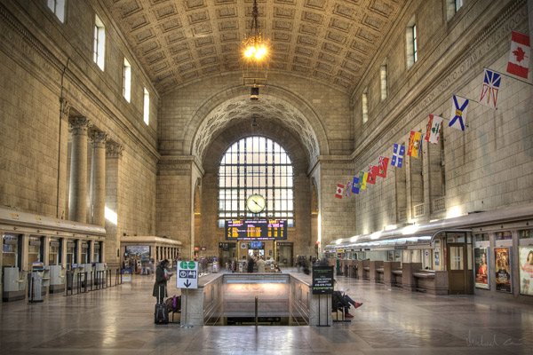
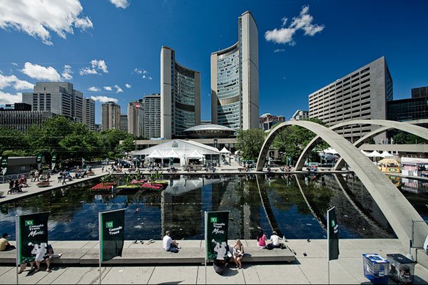
PATH links various businesses, public transportation and other facilities throughout the downtown core of Toronto. More than 50 buildings/office towers are connected through PATH. Twenty parking garages, five subway stations, two major department stores, six major hotels, and a railway terminal are also accessible through PATH. It also provides links to some of Toronto’s major tourist and entertainment attractions such as: the Hockey Hall of Fame, Roy Thomson Hall, Air Canada Centre, Rogers Centre, and the CN Tower. City Hall and Metro Hall are also connected through PATH.
History of PATH
The origins of path take place in 1900 when the T Eaton Co. joined its main store at 178 Yonge St. and its bargain annex by tunnels. By 1917, five tunnels were available in the downtown core. However, PATH had a huge growth during the 1970s when a tunnel was built to connect the Richmond-Adelaide and Sheraton Canters.
Facts about Toronto’s PATH Network
The PATH network is used by more than 100,000 commuters everyday along with many tourists and residents. According to Guinness World Records, PATH is the largest underground shopping complex with 28 km (17 miles) of shopping arcades. It has 371,600 sq. metres (4 million sq. ft) of retail space. There are more than 125 grade level access points and 60 decision points where a pedestrian has to decide between turning left or right, or continuing straight on. Once a year, businesses in PATH host the world’s largest underground sidewalk sale.
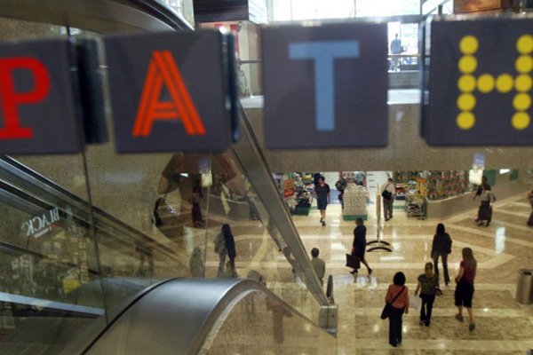
Toronto’s PATH Logo
PATH’s name and logo are registered to the City of Toronto. The City co-ordinates and facilitates the directional signage, maps and identity markers throughout the system. Each letter in PATH is a different colour, each representing a direction. The P is red and represents south. The orange A directs pedestrians to the west, while the blue T directs them to the north. The H is yellow and points to the east.
Toronto’s PATH vs Montreal’s RÉSO
Toronto’s PATH underground network is often compared to Montréal’s RÉSO underground network. Montréal’s RESO has the largest underground system overall, however Toronto’s PATH is the longest continuous system. With Montreal’s RESO, there are several disconnected areas while Toronto’s PATH is constantly connected. Currently, Toronto’s PATH is 27km while Montréal’s RÉSO is 32km. However, there are currently plans underway to expand Toronto’s PATH, so it is only a matter of time before Toronto’s PATH is the overall winner. Montreal’s RESO is considered more a tourist attraction, attracting millions of visitors each year. Toronto’s PATH, on the other hand, is mostly used by commuters and people who work within the downtown core of Toronto.
Map of Toronto’s PATH
The following is a map of Toronto’s PATH. Don’t worry about getting lost within PATH. Color-coded signs are used for directions or you can download the map below.

A map of Toronto’s PATH. Click on the image for a larger view.

Pingback: RESO - Montreal Underground City (La Ville Souterraine) - Montreal Travel Guide